
Enterprise ZIP Coverage at a Glance
Two verified postal codes have distinct roles in the Enterprise ZIP code directory. The first is tied to ordinary physical delivery and the Enterprise mailing city. The second appears on official post-office-box addresses. Neither code is a legal map of Enterprise city limits, and neither identifies Coffee County or Dale County by itself.
| ZIP | Delivery Role | Postal Facility | Record-Search Note |
|---|---|---|---|
| 36330 | Enterprise street delivery and mailing city | Enterprise Post Office, 616 Glover Ave. | May involve Coffee or Dale County and may extend beyond city limits |
| 36331 | Enterprise post-office boxes | Same Enterprise postal operation | Do not treat it as a residential area or parcel polygon |
The Enterprise coverage table states only what the source record supports. No authoritative additional standard Enterprise ZIP, local split year, or per-ZIP population was verified. That Enterprise gap matters. A directory should not turn an informal ZIP map into an official boundary or imply that a PO box locates a household.
For the current source view, the USPS Enterprise Post Office listing shows the facility used by both roles. The captured listing appears below.
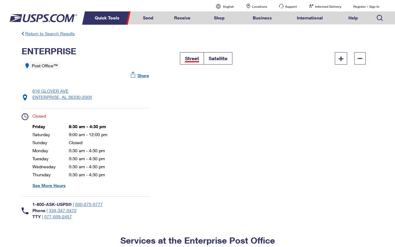
The postal listing confirms a service point. It does not establish that any named person receives mail there.
36330 Street Delivery in Enterprise
The 36330 code is the verified physical-delivery and mailing-city code for Enterprise. It helps normalize an Enterprise address before a records search, but its role ends there. USPS routing answers where Enterprise mail goes. It does not decide whether a parcel sits within the municipality, which county assesses it, or which probate office recorded its deed.
This distinction is especially important on Enterprise's edges. The municipal plan describes unincorporated and Dale County areas along Rucker Boulevard south between Freedom Drive and County Road 17. It also notes unincorporated land south between County Road 711 and Alabama 167, plus growth along U.S. 84 toward Level Plains. Recent development southeast mixes parcels inside and outside the city. An Enterprise ZIP code can therefore remain stable while the correct local custodian changes from one parcel to the next.
Note: A 36330 mailing line narrows postal delivery, not the county, city district, owner, or occupant of an Enterprise address.
36331 Is Enterprise's PO Box ZIP
Enterprise's 36331 is an easy code to misread. The verified evidence ties it to post-office-box mailing, not a residential delivery polygon. A box number can be a useful contact point in a deed, estate file, business filing, or tax mailing record. It still does not place the person or entity on a block.
That quirk changes how the Enterprise ZIP code directory should be used. Do not plot 36331 as if it covered a neighborhood. Instead, return to the record that supplied the box, identify the parcel's physical or situs address if one exists, and resolve that land through county GIS. When a parcel card lists a street site and a box as the owner's mailing address, the two fields describe different facts.
Postal clue. A 36331 address identifies an Enterprise PO-box relationship, not proof that the box holder lives within Enterprise or at any specific parcel.
Verify Enterprise ZIP Codes With USPS
The official USPS ZIP Code Lookup offers three paths. Use an address to standardize a street location, use city and state to identify postal codes, or use a code to see accepted city names. USPS also warns that a valid result does not prove that a named person or company is present at the address.
| Lookup Mode | Fields or Input | Best Enterprise Use |
|---|---|---|
| By Address | Company optional; street required; apartment optional; city, state, ZIP | Normalize a physical delivery line before GIS |
| By City and State | City and state | Confirm the postal codes associated with Enterprise |
| Cities by ZIP | ZIP code | Check accepted mailing-city names |
Enter only the Enterprise address facts already known. If the street result fails, confirm spelling, unit style, and city name rather than assuming the property is outside Enterprise. The next Enterprise check belongs in Coffee and Dale parcel records, not in a guessed ZIP boundary.
Search Enterprise Records After ZIP
The Enterprise ZIP code directory is a starting filter, not a complete resident roll. Coffee's captured property-search fields do not include ZIP. Public VoterView verifies one person or polling location and does not browse a code. The full voter file can be requested by city or district, but the documented request form does not promise a simple ZIP-wide public query. Use the tools each system actually provides.
- Validate the delivery line through USPS. Keep the standardized street, unit, city, and ZIP together.
- Search Coffee County Public GIS by physical street address and Enterprise district. If absent, repeat in Dale County.
- Read the parcel card for assessed owner, situs address, separate mailing address, parcel key, and deed pointer. These fields do not list every resident.
- Use Alabama VoterView only when the required name and date of birth are lawfully available. A nonmatch is not proof of nonresidence.
- When the goal becomes a named road rather than a mail zone, continue with the Enterprise street directory and its address-keyed workflow.
For a portal outage, use the county revenue or appraisal office and ask for the parcel by physical address. The Alabama Department of Revenue maintains a county appraisal and assessment directory that points to the correct custodian.
The state county-appraisal directory captured for Enterprise is shown below as the official fallback when a direct county link moves or fails.
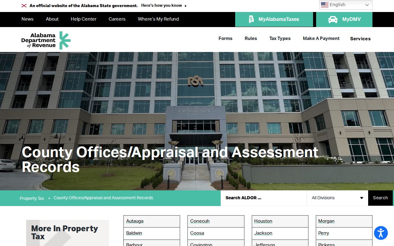
County contact routes matter because Enterprise crosses the Coffee and Dale assessment systems.
Enterprise ZIP Codes Cross County Lines
Most Enterprise parcels are in Coffee County, while southeastern and eastern parts extend into Dale County. A search that checks only Coffee can miss a valid Enterprise mailing address. The reverse is also true: a Dale-side result should not be forced into Coffee's deed or tax system merely because the mailing city says Enterprise.
Resolve the Enterprise county from parcel evidence. Coffee and Dale GIS use separate portals and different parcel prefixes. After the correct Enterprise parcel appears, follow its deed book and page to that county's probate records. For Coffee records, the Enterprise and Elba recording divisions add another layer, so even the correct county may require attention to the division notation.
The clean sequence is postal code to physical address, physical address to county parcel, and county parcel to recorded document. Each step answers one geographic question. None should substitute for the others.
Enterprise ZIP Growth Edges
Enterprise grew along routes that do not follow postal or government boundaries in a neat line. Rucker Boulevard, U.S. 84, the Dale fringe, and southeast development are useful orientation points, not formal ZIP subdivisions. The city's airport is also outside current municipal limits. These facts explain why a place can be connected to Enterprise life yet fall under another parcel or records jurisdiction.
Regional military aviation contributes to household turnover near Rucker Boulevard and the Dale side, but the installation itself should not be described as inside Enterprise. Names and addresses may change faster than parcel ownership. Date every record, preserve spelling variants, and avoid treating an old mailing address as current residence.
Note: No verified Enterprise ZIP split year or official per-code population was found, so neither belongs in a reliable ZIP directory.
Read Enterprise ZIP Address Layers
Several address terms look alike while describing different records. Knowing the difference prevents a postal result from becoming an unsupported claim about who lives on a parcel.
- ZIP code
- A USPS routing code for delivery points and routes. It is not a city or county boundary.
- ZIP+4
- The basic five-digit code plus four digits that narrow delivery to a smaller segment, building, or group of boxes.
- PO-box ZIP
- A code used for post-office boxes. Enterprise's verified example is 36331, which is not a residential polygon.
- Carrier route
- A postal delivery path. It may cross areas people think of as separate neighborhoods.
- Situs address
- The physical location of land or a building in a parcel record.
- Legal description
- The recorded lot, block, subdivision, or land description used to identify property when street labels change.
The owner mailing address is a further layer. It tells the assessor where tax correspondence goes. When that field differs from situs, it cannot be used as proof of occupancy at either address.
Enterprise ZIP Boundaries and City Limits
A final Enterprise ZIP code check should reconcile three maps. USPS validates delivery. The Enterprise city-limit or council-district map tests municipal status. Coffee or Dale GIS identifies the parcel and the office that keeps its property record. Census ZIP Code Tabulation Areas are only statistical approximations and can omit PO-box-only or unique codes.
The mismatch is not an error. Postal routes are designed to move mail, municipal boundaries define local government, and parcel systems assign land to a county custodian. A complete search keeps those roles separate. If an online index fails, contact the correct appraisal office, use a public counter, or make a narrow written request under the Alabama Open Records Act. State requests generally require Alabama residency and the custodian's procedure.
Can a ZIP identify an Enterprise resident? No. It can narrow a delivery area or reveal a box relationship. Pair it with a dated official record, and state exactly whether that record shows an owner, voter, mailing contact, or recorded party.