
Walk an Enterprise Street
A useful Enterprise by-address search builds a chain instead of trusting one result. The free tax roll is the best first stop because it accepts a physical street name and returns parcels. It identifies assessed owners, not every resident. The deed index then explains how an owner acquired the land. Voter data and period directories can add carefully dated evidence about people linked to an address.
- Resolve the county first. Search the Coffee County property search, then repeat in Dale County if the street reaches the city’s eastern or southeastern edge.
- Enter the street in the physical-address field without a house number. In Coffee, add the Enterprise district, review the parcel list, and use the map to check adjacent lots.
- Open each parcel card. Save the physical address, assessed owner, separate mailing address, parcel, subdivision or legal description, and deed book, page, and date.
- Carry the deed citation to Probate. Search the recorded instrument, identify the seller, then search that seller as an earlier grantee to move back through ownership.
- Use voter or dated directory evidence only for the people those sources actually show. A registration or printed entry is evidence for its own date, not a live household roster.
This sequence keeps the land key intact when spelling, numbering, or jurisdiction causes a miss. It also separates a current tax record from proof of residence. The historical volumes themselves belong to the Enterprise city directory collection; a street search uses them only after an edition has been checked for address access.
Enterprise Street Search Fields
Coffee Public GIS has unusually useful controls for a street-by-street search. Minimal input works best. The physical-address field may be run with no house number, while District narrows the result toward Enterprise. Broader Land, Building, and Improvement tabs can isolate acreage, value, construction year, building class, and other parcel traits, but those filters should support the address search rather than replace it.
| Portal field | Input | Required | Street-directory use |
|---|---|---|---|
| Owner | Text; begins with or contains | No | Recheck a known assessed owner |
| PhyAddr | House number plus street | No | Omit the number to browse a whole street |
| District | Dropdown | No | Select Enterprise or Enterprise abatement |
| Subdivsn | Named-plat dropdown | No | Separate similar street names by plat |
| PIN or Parcel | Text or segmented range | No | Return to a specific land record |
| TL Acres or Value | Minimum and maximum | No | Narrow large street results |
Results can be printed, mapped, sent to Excel, or sent to a mailing view. They include the physical address, owner, neighborhood, district, acreage, values, deed description, book and page, exemption, tax, and subdivision. That export is the practical core of the Enterprise street directory because it turns one street-name search into a reviewable roll.
The Coffee County parcel viewer shows how that roll connects to mapped land.
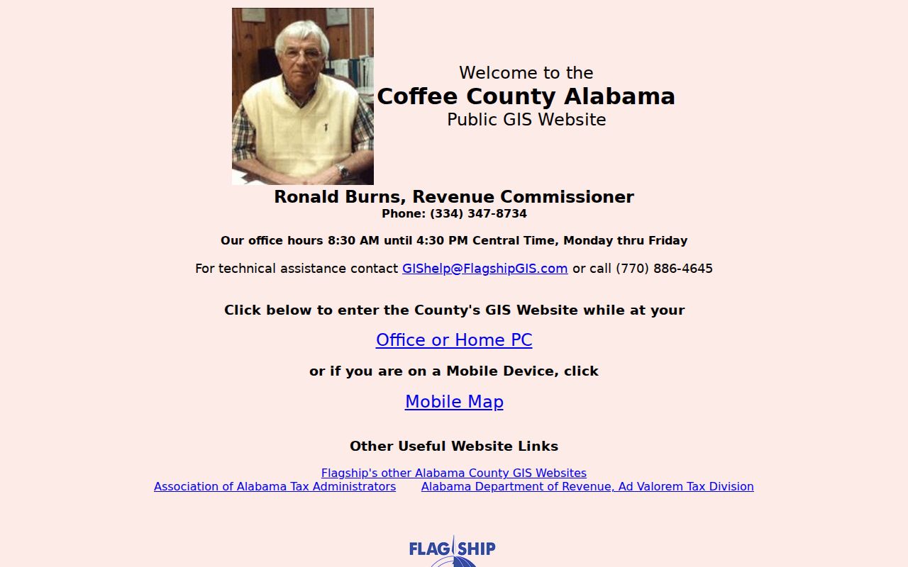
The captured viewer supports visual parcel checks after the text search, especially where a road bends, crosses a district edge, or uses similar numbering.
Two Counties Shape Enterprise Streets
Enterprise is not contained in one county. Most parcels sit in Coffee County, while parts of the eastern and southeastern city extend into Dale County. An Enterprise mailing line and ZIP do not settle that boundary. The 2023 comprehensive plan identifies Dale or unincorporated areas near Rucker Boulevard, County Road 17, County Road 711, Alabama 167, and growth toward Level Plains along U.S. 84.
When Coffee returns nothing, use the Dale Public GIS viewer before deciding an address is absent. Dale Basic Search accepts a Parcel PIN, account, owner, physical address, acreage or value range, district, and subdivision. Its parcel output also keeps owner mailing address apart from parcel address and carries deed book, page, and date. The successful capture illustrates the second county channel for an Enterprise street directory search.
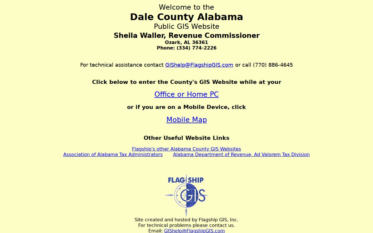
Searching both official maps is more reliable than treating the postal city name as a boundary. It also sends the later deed search to the right Probate office. County choice controls the staff fallback. Coffee Revenue maintains the assessed-owner and mapping record for most of Enterprise. Its Enterprise office can help with the current roll, while Mapping and Appraisal in New Brockton offers paper-map access. Dale Revenue handles the Dale-side appraisal roll from Ozark. When the web map fails, give staff the street, house number if known, nearby parcel, and the question being researched.
Note: A missing Coffee result may signal Dale County jurisdiction, a spelling variation, or a parcel indexed under another physical-address form.
Enterprise Records Arranged by Address
No Enterprise street directory source stands alone. Each address-keyed record answers a different question, and each has a distinct access channel. Online access is only the first path. Revenue and Probate counters, public paper maps, municipal records requests, the voter-file request, and local research desks matter when a portal stops.
| Address source | Local keeper | Useful evidence | Access path |
|---|---|---|---|
| Property roll and parcel card | Coffee or Dale Revenue | Assessed owner, mailing and situs addresses, structure, deed pointer | Free GIS; Revenue counter |
| Mapped parcels | County mapping/appraisal staff | Parcel position, neighboring lots, roads, subdivisions | Free viewer; paper maps at Coffee offices |
| Recorded deeds | Coffee or Dale Probate | Parties, instrument, legal land, book and page | Online index; counter books; ADAH microfilm |
| Voter records | Alabama SOS and registrars | Selected registrants, addresses, ward or precinct fields | One-person VoterView; paid statutory file |
| Permits and packets | Enterprise Engineering or city custodian | Applicant, E-911 address, lot or block, work and dates | Counter, email, packet PDFs, narrow records request |
| Dated directories | ADAH, Library of Congress, local desks | Listed name and address for an edition date | Digital runs, onsite volumes, reference help |
A parcel number links tax data to the deed pointer. The legal description, plat, lot, and block protect the chain when a street name proves weak. A dated directory can then add a listed subscriber, but no unverified reverse or criss-cross run should be claimed for Enterprise.
The Alabama Open Records Act provides a request route for nonexempt address files that lack a public query. Alabama residents must follow the custodian’s written process. A useful request names the exact permit, packet, map, or inspection log, supplies the address and date range, accepts redaction, and asks for electronic delivery. Fees may be collected before production, and the law does not create one universal response deadline.
Read an Enterprise Parcel Card
The parcel card is the hinge between a by-address search and the deed index. Its “physical property address” is the situs address, meaning the place where the land sits. The owner mailing address is where tax notices go. Those fields can differ. The inspected Coffee card also showed its parcel number, owner, acreage, neighborhood, district, deed and plat citations, values, building details, and tax-payment history.
- Parcel
- A county assessment identifier for a specific tract. It is a research key, not a street address.
- Situs address
- The physical location assigned to the land or structure.
- Plat
- A recorded map that identifies subdivision lots, blocks, roads, and boundaries.
- Criss-cross directory
- A directory arranged by address or phone rather than only by a person’s surname. Its presence must be confirmed volume by volume.
The inspected Coffee parcel card demonstrates the distinction.
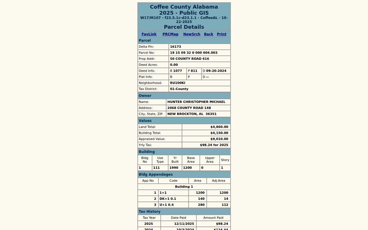
Its situs and owner-mailing fields point to different roads. That concrete mismatch shows why an assessed owner must never be described as every occupant at the parcel.
Enterprise Streets Meet Deed Books
Deeds are not reliably indexed under the modern street address. Begin with the book, page, and date on the parcel card. Coffee Probate’s search can use name, date range, book and page, party role, and instrument type. “Grantor” means the person conveying an interest; “grantee” means the recipient. To move back, inspect the current deed and search its seller as a grantee in earlier years.
Coffee Probate online records allow free search and viewing. Online research requires a free account beginning August 1, 2026, and prints or downloads cost $2 per page. The exact online start year is not published. Earlier work therefore moves to Enterprise or Elba counter indexes and books, then the Alabama Department of Archives and History county microfilm catalog.
Coffee division marks matter. Elba property books carry an A marker, while Enterprise books do not. Elba probate cases begin PC; Enterprise cases begin PR. Preserve the notation when asking staff for an instrument.
The Coffee portal can also narrow by date, party role, and instrument type, then filter and sort returned results. A condensed or list display helps compare similar names. View the full instrument before accepting a party match, since a name alone does not prove that the deed concerns the parcel on the street. Check the legal description and cross-reference details, and save the exact citation for the next link in the chain.
Enterprise Voters by Street
Alabama VoterView verifies one person using first name, last name, date of birth, and a challenge check. It is not a browseable street directory. Its polling-place mode accepts a residential location, but a result still concerns the supplied address rather than everyone along that road.
A true street-level voter extract requires the paid file authorized by Ala. Code §17-4-38. A request can choose city, county, ward, precinct, district, status, residence address, mailing address, registration date, and selected history fields. Electronic data costs one cent per voter and can arrive as Excel or tab-delimited text. Ask only for fields and geography needed, keep the as-of date, and respect protected omissions.
Registration status does not prove a person is physically present today. Election history records participation, never ballot choice. A nonmatch can arise from spelling, birth-date input, inactivity, cancellation, protected status, or no registration.
Enterprise Permit Address Evidence
Enterprise permit files can add an E-911 address, owner or project name, lot and block, work description, square footage, submitter, contractors, and dates. Planning and adjustment packets may also name an applicant and exact property address. They document a civic action or building change, not a complete household.
Citizen Self Service exposes permit and inspection modules but requires login and JavaScript; anonymous address-search fields and coverage were not verified. The fallback is Enterprise Engineering at 501 S. Main Street, 334-348-2671, or a narrow Alabama Open Records Act request to the right custodian. State the address, record type, and date range, accept lawful redaction, and ask for electronic delivery.
Plans may be held only 180 days before disposal, so request the permanent permit and inspection log separately. This distinction prevents a street-directory search from ending when the plan set is gone.
Limits of Enterprise Street Directory
Parcel systems list assessed owners and tax-mail addresses. Deeds document ownership transfers. Neither identifies all renters, relatives, guests, or other people at a home. Enterprise has no verified public utility-customer list, anonymous code-case search, or confirmed reverse-directory run. Driver address information is generally closed under the federal Driver’s Privacy Protection Act.
Historical telephone books cover listed subscribers in dated runs, and printed directory editions require inspection before their fields are described. An absent name may reflect an unlisted number, an omitted listing, a publication gap, or a move between editions. Treat every result as source-specific evidence, not a broad claim about a household.
Lawful use. Enterprise address records support genealogy, deed research, civic review, and personal safety. Never use them to stalk, harass, threaten, or expose a protected person.